31 JUL 1715 · OFF FLORIDA
The night the fleet broke apart
A hurricane scattered a treasure fleet along Florida’s coast. Recovering its cargo proved easier than identifying every wreck.
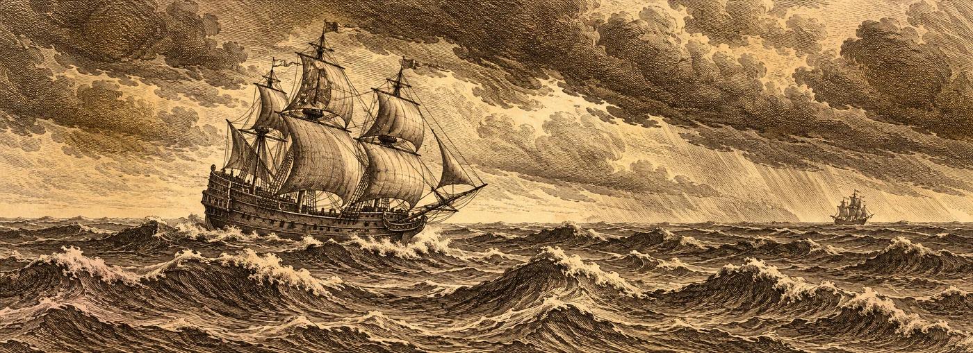
The fleet left Havana on 24 July 1715. Seven days later, a hurricane drove ships onto the reefs and shoals of Florida’s east coast. The disaster left a long scatter of wrecks rather than a single site.
Spanish salvage began in the same year. The sources collected in this record describe substantial recoveries before the end of the year, followed centuries later by modern finds. The original cargo totals vary between accounts, so there is no single uncontested figure to put on the map.
A gold coin can be unmistakably real while the name of the ship that carried it remains uncertain. That distinction runs through the fleet’s history: documented wreck areas, rich recoveries, and competing identifications.
What remains uncertain
Which wreck belongs to which ship? Several traditional identifications remain contested. The dashed corridor describes an estimated fleet area, not eleven known ship positions.
The dashed zone is an estimate, not a wreck position.Open the evidence
The research record is preserved below, including attribution, disagreements, and uncertainty.
- Cargo, with attribution
- Range: ~14 million pesos of silver plus gold bullion (Newton 1976 via Wikipedia 'Urca de Lima'); 15 million silver piastres total cargo per French captain Antoine d'Aire (Archives nationales, via de Bry/1715 Fleet Society); 7,000,000 pesos registered per Mendel Peterson 1975 (called 'clearly an underestimation' by de Bry). Spanish salvage recovered 'over 5,000,000 pieces of eight' by late Oct 1715 (de Bry).
- Discovery and recovery
- partially salvaged (Spanish salvage 1715-c.1718; modern finds from 1960 per de Bry / 1961 per Wikipedia; ongoing permitted salvage, finds reported 2015 and 2025)
- Confidence in the record
- medium - fleet extent along this coast is well documented; individual ship identities are not (de Bry: 'not a single known 1715 Fleet shipwreck has been identified securely').
- Location evidence
- Spread along the coast from Cape Canaveral southward, concentrated between Sebastian Inlet and south of Fort Pierce Inlet; Ubilla's capitana opposite the Ays (Sebastian) River at 'Palmar de Ays' (de Bry).
- ESTIMATE: point = centroid of corridor built between Sebastian Inlet SP (Wikipedia) and the Douglass Beach estimate (see F1715-04).
Original identification and research notes
Fleet-level row (11 Spanish ships per Wikipedia/de Bry; Romans 1774 map note says '14')
Deaths: ~1,500 (Cuban records via Wikipedia) vs 'well over one thousand' of ~2,500 aboard (de Bry) vs more than half of ~2,000 (Woodard via Wikipedia) vs 225 (Newton/Lowell via Wikipedia). Pirate raid on salvage camp early 1716: ~GBP 87,500 (Woodard via Wikipedia) vs ~120,000 pieces of eight (de Bry). French ship Griffon escaped and reached Brest 31 Aug 1715 (de Bry).
Corridor 5 km either side of the coastline segment Sebastian Inlet -> ~3 mi S of Fort Pierce Inlet. Assumes hurricane winds drove ships shoreward (west) onto nearshore reefs (de Bry), so scatter is coast-parallel, nearshore. Ships 'lost from sight' before the wreck (San Miguel, El Ciervo; de Bry) could lie outside this zone.
Protected history
Florida state-owned submerged lands (within 3 mi): state title to abandoned historic wrecks under Fla. Stat. ch. 267 and the federal Abandoned Shipwreck Act of 1987 [nps.gov]; recovery only under state permit/contract (FAC 1A-31). Wikipedia: 1715 Fleet-Queens Jewels LLC holds salvage rights; Florida selects up to 20% of finds, division approved by federal court.
Follow the sources
These are the references supplied with this record. Some describe historical claims or disputed interpretations rather than settled conclusions.